-
Title
-
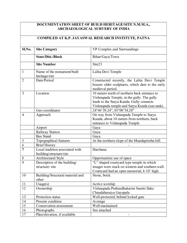
Documentation Sheet of Built Heritage/Site N.M.M.A., Archaeological Survey of India for Lalita Devi Mandir
-
Subject
-
Hindu temples--India
-
Geographic coordinates (latitude, longitude)
-
24°46'39.24", 85°00'34.20"
-
Local tradition
-
Darshan
-
Location
-
On way from Vishnupad Temple to Surya Kunda, about 10 meters from northern back entrance to Vishnupad Temple
-
Topographical features
-
Top of the Mundaprishta hill on the western bank of the Phalgu across from the Sita Kunda
-
Usage
-
Active worship
-
Structure
-
L shaped courtyard type temple in which images are stuck on western and southern wall. Courtyard had an open memorial, 8-10’ high.
-
Approachs
-
On way from Vishnupad Temple to Surya Kunda, about 10 meters from northern back entrance to Vishnupad Temple
-
Airport
-
Gaya
-
Building materials
-
Brick
-
stone
-
Railway station
-
Gaya
-
Bus stand
-
Gaya
-
Present condition
-
Average
-
Omeka identifier
-
sci-site23-KPJRForm.pdf
-
Site number
-
site23
-
Abstract
-
Beautiful lintel with Vishnu dasavatara panel. Memorial with aarti in center of courtyard.
-
Protection status
-
Well protected, behind locked gate
 sci-site23-KPJRForm.pdf
